
Underwater drones have a surprisingly basic problem. Once they dive, they don’t know exactly where they are.
The GPS in your phone works by listening to satellites, and those satellites talk over radio. Radio signals don’t make it through seawater, so a drone loses GPS the moment it goes under and has to estimate its position from its own sensors, which track things like speed over the seabed, depth and heading. That estimate drifts the longer it’s down there. And if the drone’s whole job is telling you where a possible mine is sitting, a position that’s off by even a few yards is a pretty serious problem.
So what do you do about it?
Two Norwegian companies tried a fairly simple answer in Portugal last month. They put a drone boat on the surface directly above an underwater drone and had it tag along for the entire search.
That happened during REPMUS, a big annual exercise for uncrewed boats, underwater drones and aircraft that the Portuguese Navy runs with NATO and several other partners. (It’s the same exercise where more than 60 drones staged a mock night attack on a frigate.) This year’s edition ran from August 31 to September 25 around Tróia and Sesimbra, south of Lisbon.
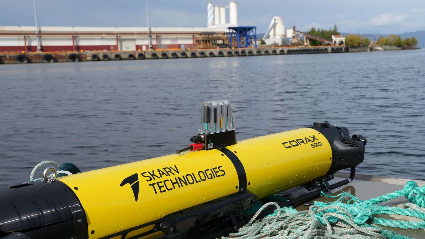
The underwater half of the pair is the CORAX 600, built by Skarv Technologies in Trondheim. The surface half is the Mariner X, made by Maritime Robotics, which is based in the same city. Maritime Robotics posted its account of the operation on October 1, and Skarv followed with a longer write-up the next day.
So what’s the underwater drone like?
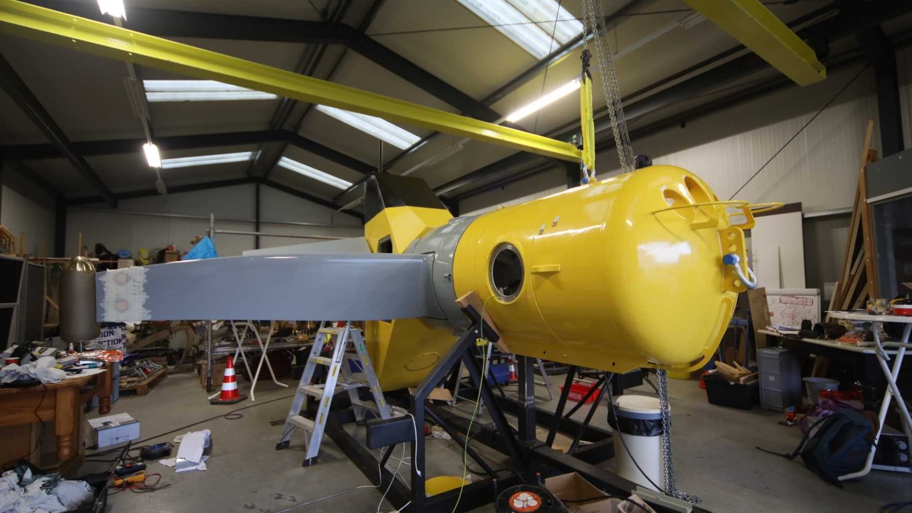
It’s small. Skarv’s spec sheet puts the CORAX at about 110 pounds and roughly 6.2 feet long, which is lighter than a lot of the people who’d carry it, and the company’s own photos show it being hauled onto a quay by hand. The 600 in the name is its depth rating in meters, which works out to 1,969 feet, though Skarv says that depends on which sensors are fitted.
Skarv gave it six thrusters, and that’s really why it’s a good match for this job. A lot of underwater drones are shaped like torpedoes and steer by moving forward, so stopping in one spot takes extra hardware. The 115-pound mine drone the Spanish Navy uses, for example, carries a third thruster pointing straight down just so it can stop and hover.
The CORAX has three thrusters handling roll, pitch and up-and-down movement, two that push it forward and turn it, and one more that slides it sideways. Basically, it can park in midwater next to something on the seabed and shuffle around it for a better look, much like a camera drone does in the air.
Hovering matters because of how the search works. The CORAX sweeps the seabed with sidescan sonar first. That sonar sends sound out to both sides and builds a picture of the bottom from the echoes. It’s good at spotting a lump that shouldn’t be there. It isn’t nearly as good at telling you whether that lump’s a mine or a lost oil drum, so the drone then hovers beside anything suspicious and photographs it up close.
It also does its own homework. Skarv says spotting objects, sorting them and measuring them from the photos can all happen on the vehicle, so what comes up from the drone is a list of contacts, not a pile of raw data. I’d argue that’s the smartest thing about the whole setup, frankly, because the only practical way to talk to something underwater is with sound, and Skarv itself describes that link as narrow. Nobody’s streaming 4K video through it.
The boat on top has two jobs
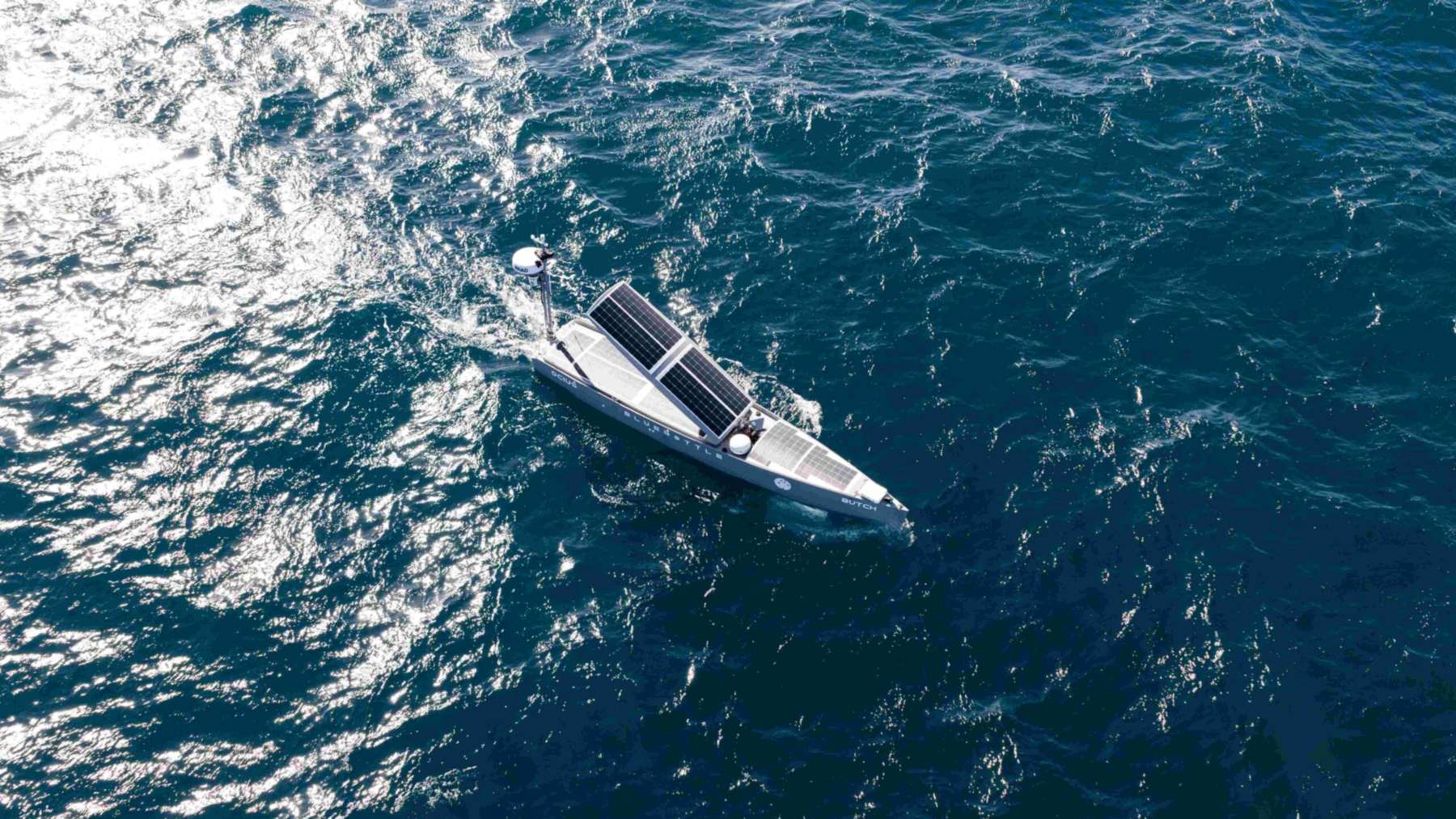
The Mariner X is a much bigger machine. It’s a 29.5-foot drone boat with a polyethylene hull, and Maritime Robotics’ spec sheet lists it at about 11,000 pounds dry. Skarv’s write-up calls it a two-ton boat, which doesn’t line up. I’d trust the company that builds it.
The boat can run remotely or on its own and carries enough fuel for as long as 25 days if the weather cooperates. Its back deck takes about 2,650 pounds of payload, and Maritime Robotics lists launch and recovery systems for underwater drones among the things you can bolt on there. Neither company says the Mariner X launched the CORAX in Portugal, though, so I wouldn’t assume it did.
Its first job at REPMUS was acting as a reference point. The boat sits on the surface, so it has GPS. It followed the CORAX’s survey pattern from directly overhead and used sound to keep correcting the drone’s position as it went.
Here’s the basic idea. Sound travels well through water, so the boat can work out where the drone is relative to itself, and since the boat knows exactly where it is, it can hand the drone a corrected position. Skarv hasn’t said which acoustic gear did that in Portugal, although the CORAX spec sheet lists an acoustic modem with positioning capability as an optional extra.
The second job was messenger. The Mariner X relayed the drone’s status, its contact reports and any re-tasking (basically, new orders like “go back and look at that again”) between the CORAX and an operator ashore, using the boat’s own cellular and satellite links. Which means the person running the search can sit on land, well outside the danger zone, and still change the plan mid-dive. If you’ve ever tried to steer anything over a bad cell signal, you’ll appreciate how much has to go right for that to work.
So did they find any mines?
Not real ones, and neither company says they did. Skarv published a close-up from the CORAX’s camera of a dummy target lying on the bottom, close enough that you can make out a marking painted on it. That shot’s black and white on purpose, because a monochrome sensor is more sensitive to light, which helps in dark, murky water.
That’s identification work, and you shouldn’t read it as anything more. Nothing in either account involves disarming or destroying anything, and the minefield talk in both write-ups describes what the pair is designed for, not what happened off Portugal.
I’d also treat the headline specs as what the CORAX can do on paper. Neither company has published dive depths or dive times for the exercise, so we don’t know whether the drone got anywhere near 1,969 feet or spent 12 hours underwater in one go.
Why pair them up at all?
Mine hunting has traditionally meant a specialized ship working its way into dangerous water and, sometimes, a diver swimming up to the object for a closer look. Navies have been swapping divers for drones for a while now. The catch is that a lot of those drones still need a ship nearby to launch them and talk to them.
So say a navy thinks mines have been dropped near a harbor entrance. The pitch from the two companies is that a few people tow both machines to the coast on trailers, put them in the water from a small slipway, and run the search from land. Skarv says the whole system can be containerized and set up in a single day by a handful of people, and that it doesn’t need a mother ship to babysit it.
That’s a pretty big claim to hang on a couple of exercises, and I’d want to see it hold up in rough weather before calling it proven. But it’s the right problem to go after, and other teams are working the same angle. We recently covered a 47-foot drone boat that launched and recovered a 375-pound underwater robot more than 40 times off England.
This wasn’t the pair’s first outing, either. Back in June, Skarv and Maritime Robotics ran a multi-vehicle operation at Mongstad, Norway, aimed at protecting the oil refinery there, and Skarv’s photos from that one show the CORAX riding on the deck of Maritime Robotics’ smaller Mariner boat.
Both companies say the same pair can also map the seabed before a navy sends ships into an area, or before an offshore wind farm goes in. Skarv’s October 2 write-up counts Portugal as the second time the CORAX and a Maritime Robotics boat have worked as a team.