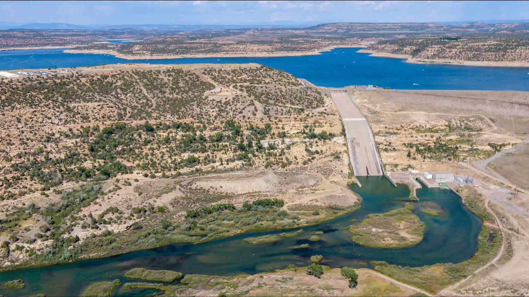

You’ve probably seen this one play out after a big flood. There’s water in somebody’s living room, there’s a big dam upstream, and before long someone’s asking who opened the gates.
Northwest New Mexico has a flood and a big dam right now. But Navajo Dam, a 402-foot earth embankment on the San Juan River about 34 miles east of Farmington, hasn’t turned anything up. The Bureau of Reclamation’s 40-day table for the reservoir has it letting out 268 cubic feet per second on Oct. 21 and 250 on Nov. 2, the last day with a release on the books.
That same table has 52,053 cfs coming in on Nov. 2.
If you don’t think in cfs (and why would you), one cubic foot per second is about 7.5 gallons every second. So that’s around 389,000 gallons a second going into the lake and about 1,870 coming out.
I should point out that nobody’s metering that inflow. Reclamation works it out from how much the lake gained plus what it released, and its footnote says so. I ran Nov. 2 myself: the lake gained 102,708 acre-feet, which comes to about 51,780 cfs, and adding the 250 gets you to about 52,030. So it holds up pretty well, as long as you read it as a daily average and not a gauge reading.
How much water are we talking about?
On Oct. 21, the lake sat at 6,021.95 feet and held 883,785 acre-feet. On Nov. 3, it was at 6,064.80 feet and 1,354,774 acre-feet. That’s a rise of 42.85 feet and 470,989 acre-feet in 13 days.
An acre-foot’s just what it sounds like: an acre of ground under a foot of water, or about 326,000 gallons. So the lake’s picked up roughly 153 billion gallons since Oct. 21.
It came in two waves. The leftovers of Hurricane Trudy pushed inflow to 44,238 cfs on Oct. 23, and then a second storm showed up on Halloween night, with the soil still soaked from the first one. Nov. 2’s 52,053 cfs compares with 15,397 cfs on Sept. 6, 1970, during another big flood on this river. I’m not calling Nov. 2 an all-time high, since I didn’t check every day in the table, but it’s safe to say this one’s in a different league.
The reservoir backs up 35 miles on the San Juan, 13 on the Pine and 4 on the Piedra, so all three feed straight into it. Kiowa County Press has the Piedra near Arboles at 17,800 cfs on Sunday night, against a record of 8,370 before this fall. The Pine also runs through Vallecito, the 162-foot dam we covered last month, and it’s been that kind of fall in general, since Elephant Butte on the Rio Grande got its own shot of hurricane leftovers in September.
The climb is slowing down, at least. The lake rose 8.24 feet on Nov. 2 and 2.77 feet on Nov. 3.
So where did Farmington’s water come from?
Pretty much everywhere the dam can’t reach. The Albuquerque Journal reported on Nov. 2 that over 20,000 people in San Juan County got evacuation notices, covering anyone within half a mile of the Animas, the La Plata or the San Juan. “It’s wide and it’s fast,” county spokesperson Devin Neeley told the paper.
The Animas comes down from Durango and joins the San Juan at Farmington, well below the dam, and as far as I can tell neither it nor the La Plata has anything like Navajo on it. USGS gauges have the Animas at Farmington peaking at 13.46 feet and 18,900 cfs at 12:15 a.m. on Nov. 3. The San Juan at Farmington, below that junction, topped out at 12.20 feet and 24,900 cfs early on the afternoon of Nov. 2.
Those are moderate and major flood levels, respectively, and you may see the word “record” floating around, so let’s sort that out. The Animas didn’t break one. The National Weather Service lists its record crest as 16.5 feet from Oct. 6, 1911. The San Juan did set a preliminary height record during the first wave, 14.1 feet on Oct. 23 against the old 12.3, according to the weather service. But Jonathan Thompson at The Land Desk points out that a flow of 33,100 cfs that day still falls short of what was measured there in 1927 and 1929.
Then there are the washes. A USGS gauge roughly 5 miles below the dam read 225 cfs early on Nov. 1 and 5,300 cfs at 4:30 that afternoon, on a day Reclamation lists a 250 cfs release. It was back down to 699 by 12:15 a.m. on Nov. 4. My guess is that’s side drainage coming in below the dam, though I can’t tell you which arroyo did it. Water writer John Fleck reached a similar conclusion about October’s wave, mostly by process of elimination, and pointed at two normally dry drainages, Gobernador Canyon and Cañon Largo.
So did the dam save Farmington? Thompson wrote that without the dam, October’s flows would’ve been “far larger, and far more destructive.” That’s his inference, and I haven’t seen Reclamation or the weather service put a number on it. Still, a daily average of 52,053 cfs coming in against a 24,900 cfs peak at Farmington makes it pretty hard to argue with. That won’t mean much if you’re shoveling mud out of your house in Harper Valley.
So why only 250?
Reclamation hasn’t explained it anywhere I can find, so this is my read. Its notices page says releases are meant to keep 500 to 1,000 cfs moving through the endangered fish habitat between Farmington and Lake Powell. When the river’s carrying 24,900 cfs at Farmington, the fish don’t need any help from the dam.
And 250 is a number Reclamation’s own planning documents describe as the low end. So the dam’s sitting about as low as it goes while everything around it runs high.
There’s a hardware limit too. The main outlet works can pass 4,200 cfs with the lake all the way up at 6,101.6 feet, a long way short of 52,053. Frankly, adding water to a river that’s already in people’s houses isn’t something any operator’s going to volunteer for anyway.
There aren’t any gates on this spillway
Navajo’s a pretty massive pile of dirt. Reclamation’s page for the dam lists a rolled earthfill embankment 402 feet high and 3,648 feet long, with 26,840,863 cubic yards of material, 30 feet wide on top and 2,566 feet wide at the base. It went up between 1957 and 1963. The top of it sits at 6,108 feet.
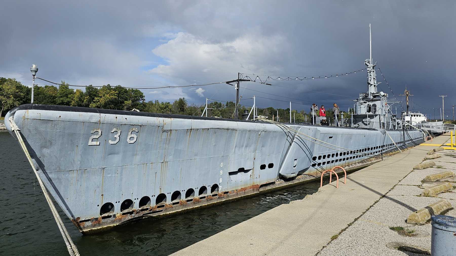
The spillway’s a concrete crest on the right abutment at 6,085 feet, and it doesn’t have gates. On a gated spillway, an operator picks when to dump water. This one’s a fixed lip, like the zigzag one we covered in Michigan, so once the lake passes 6,085 feet, water goes over on its own and nobody has to decide anything. Reclamation lists a design capacity of 34,000 cfs at maximum water surface.
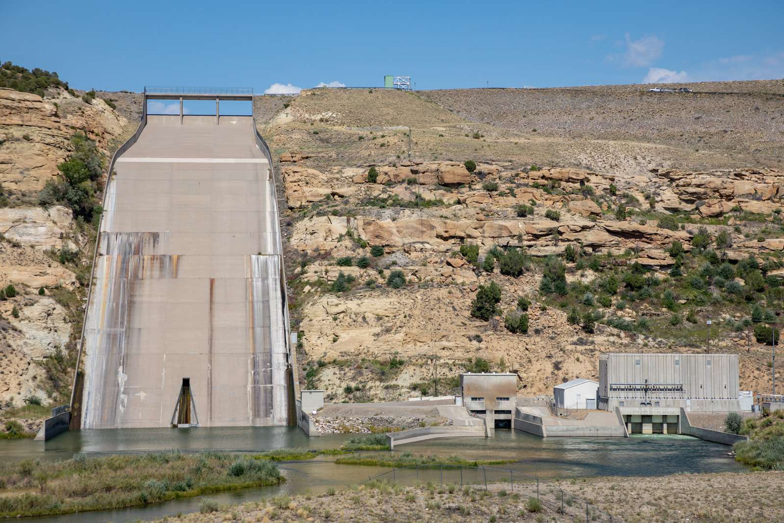
Earth dams really don’t like water going over the top, which is why that crest sits 23 feet below the top of this one. As of Nov. 3, the lake’s 20.2 feet below the spillway and 43.2 feet below the top of the dam.
It’s been higher. One compilation of Reclamation’s data puts the high-water mark at 6,087.25 feet on July 3, 1973, and Reclamation’s release table shows 5,447 cfs going out that day.
Will it spill this time? I wouldn’t bet on it. Reclamation’s operations table lists a maximum of 1,696,000 acre-feet, so the lake’s about 80% full with 341,226 acre-feet of room left, against the 470,989 it just took in. Another run like the last 13 days wouldn’t fit, but that wouldn’t mean the dam’s failing. A spill is what the spillway’s there for.
So what happens next?
The rivers are falling. By about 1 a.m. on Nov. 4, USGS had the San Juan at Farmington down to 5.84 feet and 7,740 cfs, and the Animas down to 9.29 feet and 6,560 cfs. Neeley told the Journal he expected the river back to normal by Tuesday or Wednesday. The forecast’s dry into the weekend, according to Kiowa County Press.
What Reclamation does with all that water, I can’t tell you. The Nov. 3 row doesn’t have a release yet. The latest notice is from Sept. 16, cutting the release to 350 cfs, and the table’s dropped to 250 since then with no newer notice I can find, so I wouldn’t treat that page as a live feed. It’s safe to assume releases will come up at some point, since you probably don’t want to meet spring snowmelt with a lake this full. When and how fast probably depends on a river channel that’s just been through two floods.
Reclamation’s table has Navajo at 6,064.80 feet and 1,354,774 acre-feet on Nov. 3, and Kiowa County Press says the agency’s next Colorado River study is due Nov. 13.