
There is a satellite watching almost every square mile of open ocean right now, which sounds like it should have settled the question of what the water is doing. It hasn’t. Satellites read the skin of the sea, clouds park themselves over the interesting parts, and the heat that decides whether a tropical storm stays a nuisance or turns into something that flattens a coastline sits tens of meters down, where nothing in orbit can see it.
So a team at the University of Delaware has spent this summer bolting sensors onto the dorsal fins of mako sharks and sending them out to take the reading instead.
Reuters put the project in front of a global audience on August 8, running photos from tagging trips off Delaware and Long Island that were released four days earlier. The timing tracks. The Atlantic hurricane season peaks in the first half of September, and the sharks that matter for this work arrived on the Mid-Atlantic shelf back in May.
The animals carry what oceanographers call a CTD tag. Conductivity, temperature and depth, which in practice means salinity, water temperature, and how deep the shark was when it took each reading. The tag builds a vertical profile as the animal climbs out of a dive. The instant the dorsal fin clears the water, it fires that profile at the Argos satellite network along with a position fix.
The mixed layer is the part that matters and the part nobody measures
Hurricane track forecasts have gotten dramatically better over the past two decades. Intensity forecasts have not kept pace, and a big part of the reason is that the models are guessing about the ocean’s upper layer.
That slab of water is called the mixed layer, and it is the storm’s fuel tank. Aaron Carlisle, the associate professor in Delaware’s School of Marine Science and Policy who runs the tagging project, compressed the physics for Reuters into six words: a “warmer mixed layer equals stronger hurricane.”
The Mid-Atlantic adds its own complication. A body of cold bottom water known as the cold pool parks itself on the shelf through the summer. If a storm’s winds churn that cold water up to the surface, the storm loses its supply. If the cold pool is thinner or deeper than the model assumes, the forecast is wrong in a direction that matters to everyone from Hatteras to Cape Cod.
Nobody measures the shelf well. Argo floats are built for the open ocean and drift out of anything energetic. Gliders work, but they crawl. Ships cost real money per day at sea, the same arithmetic that has pushed the rest of ocean monitoring toward machines that can stay down for two weeks with no support vessel overhead.
A separate study put a number on what animal data is worth
While the Delaware team was out tagging, a different group published the proof that this whole idea does something measurable.
The paper ran in npj Climate and Atmospheric Science on April 28, led by Laura H. McDonnell, now a postdoctoral investigator at the Woods Hole Oceanographic Institution, who did the work as a doctoral student at the University of Miami Rosenstiel School. Back in October 2021, her team tagged 18 blue sharks and one shortfin mako off Cape Cod.
Those 19 animals transmitted 8,242 depth-temperature profiles, 58,947 paired measurements in total, over roughly six months. The deepest single record came from 1,976 meters down, about 6,480 feet. Recorded water temperatures ran from 3.9 to 33.9 degrees Celsius.
The team then fed a subset of 1,329 profiles into CCSM4, a coupled climate model that forms part of NOAA’s North American Multi-Model Ensemble, and reran the seasonal forecasts. Compared against control runs, forecasts built with shark data showed up to 40 percent lower surface temperature error. On the continental shelf in November, mean error dropped by 1.24 degrees Celsius.
Worth being precise about what that experiment was and wasn’t. It ran on winter initializations, it used tags that recorded depth and temperature but not salinity, and it tested seasonal ocean forecasts rather than hurricane intensity. It is the first time anyone assimilated animal-borne sensor data into a seasonal climate model and measured what happened.
McDonnell was blunt about the ceiling in the Woods Hole announcement: “Tagged sharks won’t replace conventional observing systems.”
Makos and blues got the job, and the audition was not close
Not every shark is a good sensor platform, because the tag only talks when the fin is out of the water. A species that lives deep and surfaces once a week is carrying a very expensive paperweight.
Delaware sorted this out before deploying anything. A 2025 paper in the ICES Journal of Marine Science, led by doctoral candidate Caroline Wiernicki with Carlisle and colleague Matthew Oliver among the co-authors, worked through two decades of archived satellite tag records: 516 individual sharks, 1,052 filtered tracks, 109,542 total days of deployment, tags fitted between 2002 and 2022.
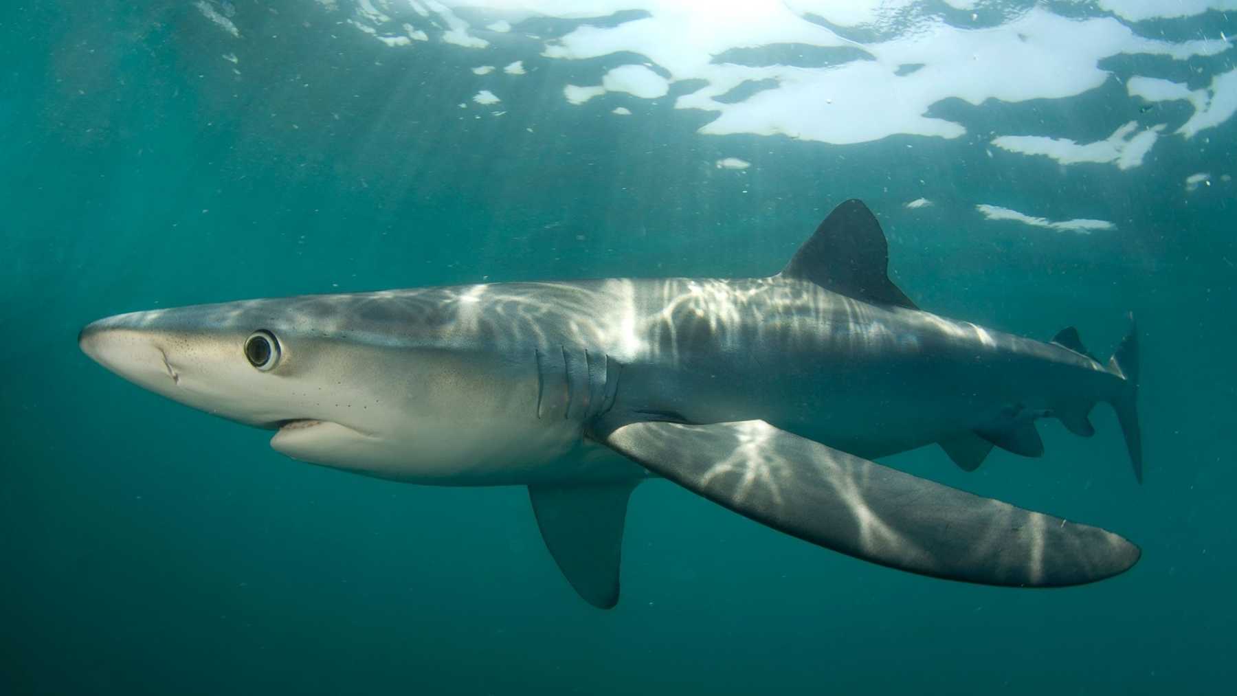
Atlantic shortfin makos finished first. They log a median of three surface positions a day and an estimated 1.8 transmission opportunities daily, roughly twice what most of the field manages. Blue sharks came in behind them. Juvenile great whites finished dead last in both ocean basins, which is a shame for the branding but useful to know before you spend the money.
The same analysis lined the animals up against the ocean features worth sampling. Atlantic shortfin makos, blues, tigers, oceanic whitetips and Pacific salmon sharks all operate on the same time and distance scales as hurricanes themselves.
A tagged mako costs $296 per profile. A glider costs $1,875.
The cost comparison in that same paper is the part that should make budget officers sit up.
The team modeled a Slocum glider against simulated mako tracks in the Mid-Atlantic Bight and counted how many statistically independent temperature profiles each platform returns per deployment. The glider managed eight over 720 hours at roughly $15,000 in deployment, recovery and maintenance, which works out to $1,875 apiece. That figure leaves out the glider itself, a $350,000 machine.
The tagged mako returned 26 over 2,160 hours. A CTD tag from the Sea Mammal Research Unit at the University of St Andrews runs about $7,000, and putting it on an animal costs another $700 in vessel time. Total per profile: $296.
Three times the data at roughly 15 percent of the operating cost. The catch is that you never get the tag back, while a glider goes out again next month.
The hard part turned out to be an antenna
None of this worked on the first try. The team’s initial CTD tags went onto two blue sharks in 2023 and failed to transmit reliably, because the antenna kept sitting in the water when the animal surfaced.
Carlisle described the fix as an engineering problem rather than a biology one: the job was to “keep the tag’s antenna out of the water during surfacing events.” The redesign is a rigid housing contoured to the leading edge of the dorsal fin, shaped to sit differently on differently shaped fins.
That version went on two shortfin makos in May 2025. One of the two came back with usable CTD profiles and surface positions, which in this line of work counts as a win.
The tagging itself is quick. Reuters described a crew running baited lines 30 to 40 miles offshore, waiting two or three hours for a bite, then working the animal with what Carlisle compares to a pit crew, the whole procedure typically finished inside five minutes. Tags go on with hardware built to corrode and drop off by itself. Every shark gets a health check before release, partly for the animal and partly because a stressed shark stops behaving like a normal one and poisons the data.
Getting the numbers into a real forecast is the next fight
A profile sitting on a university server is not a forecast input. It has to be quality-controlled, formatted and pushed into the pipes that operational meteorologists actually pull from.
Delaware is working that problem with MARACOOS, the Mid-Atlantic arm of NOAA’s Integrated Ocean Observing System. The plan routes shark profiles through the OceansMap platform, applies IOOS QARTOD quality control, then hands the data to the Global Telecommunications System and eventually the Global Ocean Observing System. That is the same plumbing every buoy, float and untethered seabed sensor has to pass through to count.
At least two more CTD tags were scheduled to go out this summer, with the crew running offshore expeditions aboard the university’s research vessel Daiber. None of it replaces the existing fleet. NOAA still has robot sailboats parked across the Atlantic waiting to sail into the eyewall, and those measure things a shark never will.
A quiet season is a strange gift for a project like this
The 2026 Atlantic season is not cooperating with anyone hoping for a dramatic test case. In its August 6 update, NOAA held its below-normal call, putting the odds at 75 percent and forecasting 7 to 13 named storms with 2 to 6 hurricanes for the whole season. Two tropical storms had formed by then, Arthur and Bertha, both in the Gulf, and no hurricanes at all. A strengthening El Niño is doing most of the suppressing.
A season with no rapid intensification event is a lousy year to prove your sensor caught one. It is a very good year to find out whether the mount holds through a full migration, whether the antenna clears the water often enough, and whether MARACOOS can actually get a shark’s temperature profile into a forecast model before the profile goes stale.
Those are boring questions. They are also the ones that decide whether this becomes an observing network or stays a very good Shark Week segment.