
You’d think mapping the ocean floor would be a solved problem by now. We’ve had ships pinging the bottom with sonar for the better part of a century, and yet only 28.7% of the world’s ocean has been mapped to modern standards, according to the GEBCO grid released in April 2026. The US Navy would like that number to move, at least in the stretches of the Atlantic it cares about. So last week it handed the job to a boat with no crew on it.
The boat is the Saildrone Surveyor, and the deal, announced September 15, is a $10 million task order from the Navy’s Naval Oceanographic Office (NAVOCEANO, if you enjoy acronyms) for bathymetric surveys in international waters of the Atlantic. Operations start later this year and run through most of 2027. Saildrone has been doing seafloor work for US government customers since 2019, so this isn’t exactly a leap of faith on the Navy’s part.
Still, the machine itself deserves a closer look, because it’s a genuinely strange thing to picture doing Navy work.
So what exactly is a Saildrone Surveyor?
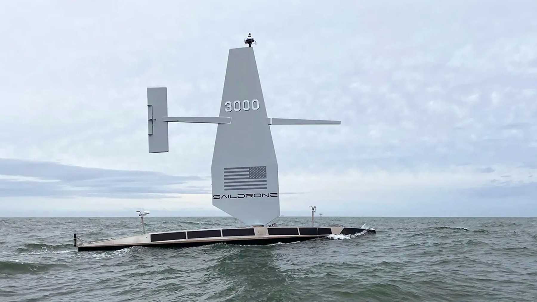
It looks like what you’d get if you crossed a racing yacht with a survey ship and then fired the crew. The production Surveyor is 65 feet long, weighs 15 tons, and carries a 43-foot rigid wing over an aluminum hull built to the American Bureau of Shipping’s Light Warship code. The hull and keel come off an Austal USA line in Mobile, Alabama, and the composite wing and internals get built at Saildrone’s headquarters in Alameda, California. The first production boat, SD-3000, went into the water on March 4, 2024, and the yard said at the time it was set up to turn out one every six weeks.
The propulsion is, frankly, the clever bit. An 80-horsepower diesel does the actual pushing, and the wing works as an auxiliary, cutting fuel burn whenever the wind cooperates. That combination’s what buys the endurance: 100 days at sea between service stops, mapping at 6 knots the whole way. Saildrone hasn’t published a range figure in miles, just the days, which is a slightly odd way to spec a boat, but endurance is what the customer’s paying for anyway.
Under the hull sits a Kongsberg EM304 MKII multibeam sonar, which Saildrone rates for mapping down to 36,000 feet (11,000 meters). If you haven’t run into multibeam before, the idea’s pretty simple. Sonar’s basically an exercise in listening, and instead of pinging straight down like an old depth sounder, this one fans a wide swath of sound out to both sides and times the returning echoes, painting the bottom in overlapping strips the way a lawnmower covers a yard.
The Surveyor’s done this kind of work before
The track record here is short, but it’s pretty convincing. The original prototype sailed itself from San Francisco to Honolulu in 2021, arriving on July 8 after 28 days at sea, 2,250 nautical miles on the log, and 6,400 square nautical miles of seafloor mapped along the way, some of it 23,000 feet down. Quick note if you go comparing numbers: that prototype measured 72 feet and 14 tons against the production boat’s 65 feet and 15 tons, so both sets of figures are floating around out there, and they’re both right.
Larry Mayer, who runs the University of New Hampshire’s Center for Coastal and Ocean Mapping and whose team calibrated the data from that crossing, rated it “as good as anything we have seen from a ship.” Part of his explanation was noise. A boat that spends much of its time under sail, without an engine room rumbling through the hull, is a quieter place to listen from.
Then, in the summer of 2024, the first production boat went out and did a paying job that would normally need a full survey vessel: a deep-water cable route survey in the North Atlantic for Meta. Over 26 days it mapped more than 2,800 miles (4,500 km) of seabed in water up to 18,045 feet (5,500 meters) deep, sweeping a swath up to 6.2 miles (10 km) wide on each pass, without a port call. Saildrone’s estimate is that the mission put out about a fiftieth of the CO2 a conventional survey vessel would have, avoiding roughly 243 tons of it.
Why does the Navy want maps of the open Atlantic?
Because most of the deep ocean has never been measured directly. The charts covering it are largely built from sparse old soundings and estimates derived from satellite readings of the sea surface. Satellites can guess the shape of the bottom from lumps in the water above it, but a guess is what it is. Kitch Kennedy, Saildrone’s senior director of ocean mapping and a retired Navy captain, rattled off the reasons the Navy pays for better data: “safe navigation, effective submarine operations, and fleet lethality.” He also described long, unpredictable Atlantic deployments as exactly the kind of mission the boats were built for.
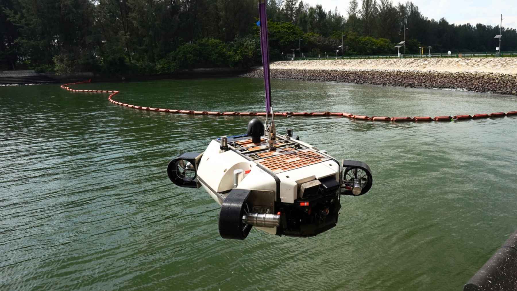
Sure, that’s the company talking. But the logic holds up. A crewed survey ship on a months-long Atlantic deployment means salaries, food, fuel, and rotations for everyone aboard. A 15-ton drone ship means a shore team watching screens. We covered something similar when a 5,500-pound underwater drone spent 64 hours sweeping the slopes off Wake Island with sonar: the machines have pretty much taken over the patient, repetitive end of ocean work.
And the Atlantic’s been a busy place for uncrewed hulls lately. A 4.26-foot drone boat crossed the whole ocean on a 52.5-watt solar panel in September, at the opposite end of the scale from a 15-ton machine dragging a deep-ocean sonar.
What we still don’t know
Saildrone hasn’t said how many Surveyors are going on the Navy job. Neither the company nor NAVOCEANO has named the specific regions of the Atlantic they’ll be working, beyond international waters. For scale, Saildrone said it built five Surveyors in 2024 alone and had all of them deployed across the Atlantic and Pacific as of late 2025, though it hasn’t published a total fleet count. I’d also love to tell you how many sailors a mission like this frees up, but there’s no published figure for that. So I won’t guess.
Saildrone announced the $10 million NAVOCEANO task order on September 15, 2026, and says the Atlantic surveys start before the end of this year and keep the boats working through most of 2027.